Why looking below the surface matters
Persistent leakage can mobilise fine soil, create voids and remove support beneath floors, roads or yards. Repairing only the visible surface—without identifying the water pathway and affected ground—can allow settlement or cracking to return. GPR helps narrow the investigation area without opening the entire site.
Turning radar responses into an anomaly map
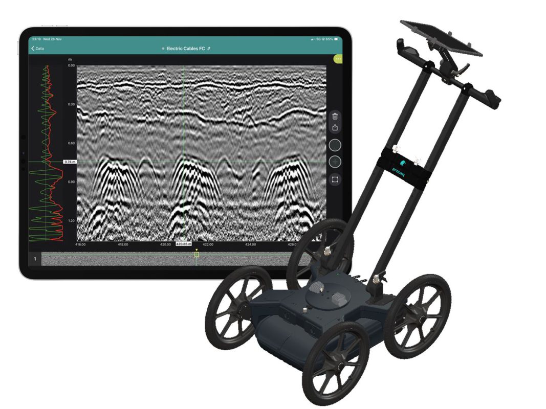
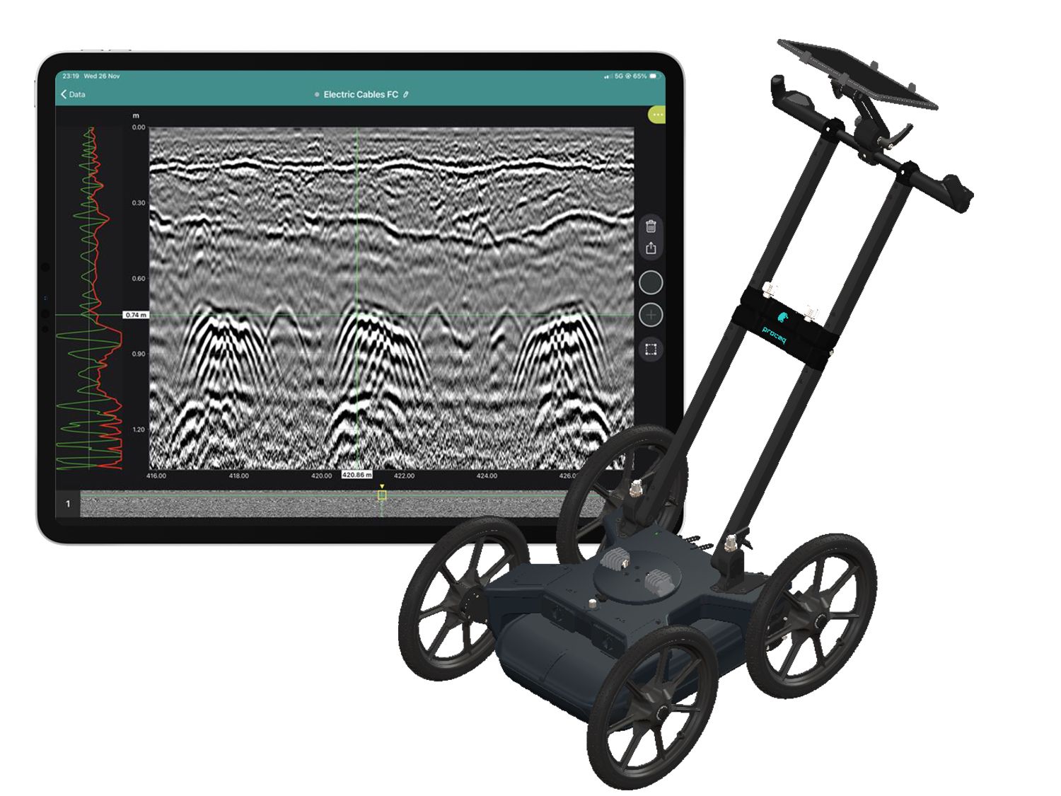
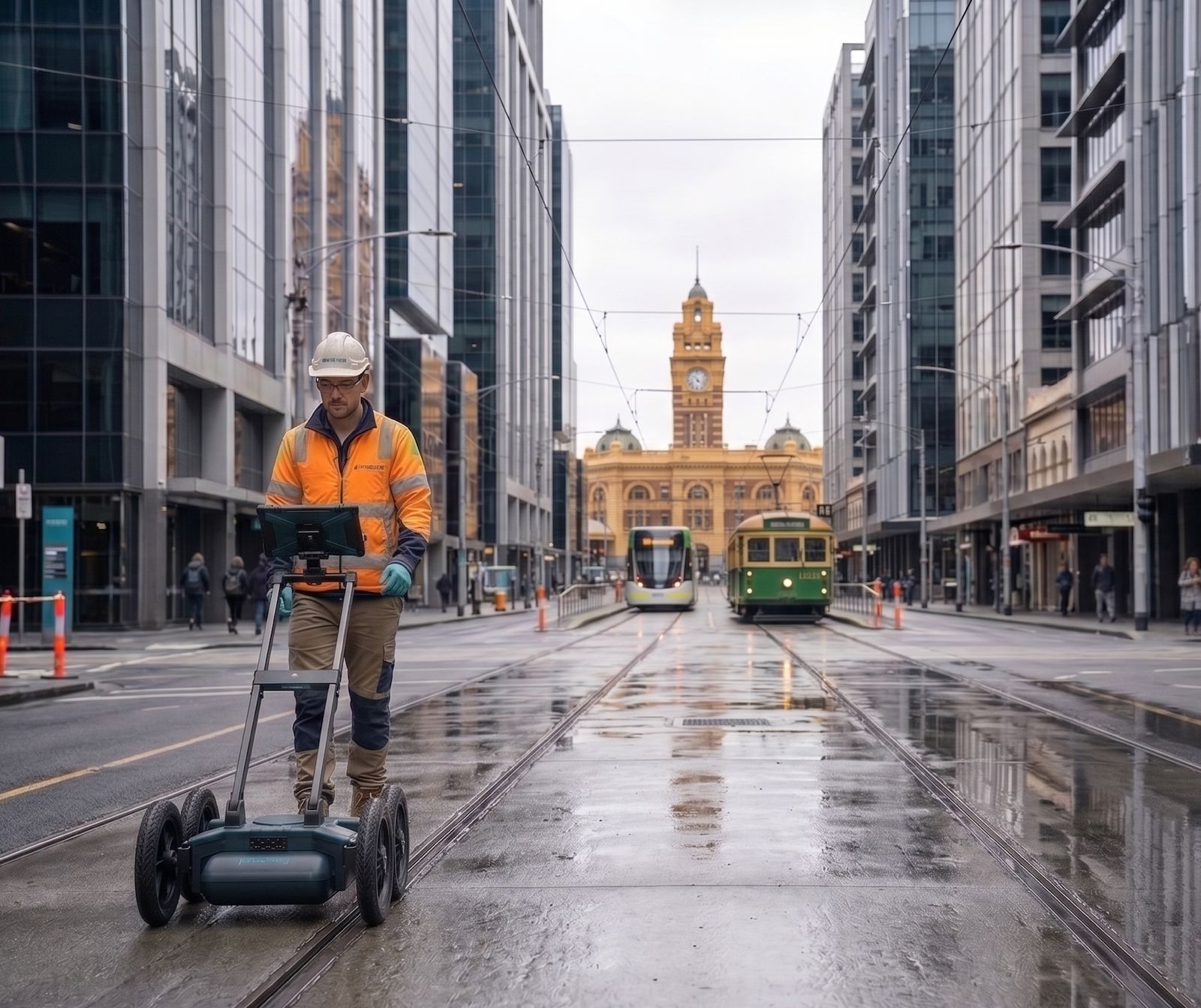
GPR responds to changes in dielectric properties and electrical conductivity. Pipes, material boundaries, disturbed ground, moisture and voids can produce different reflection patterns. Data acquired on multiple lines can be processed and correlated to map the location, geometry and priority of anomalies.
Supporting a leak investigation
In a leak investigation, GPR can first map the pipe route, then identify responses that differ from the surrounding ground, support time-lapse comparison where conditions allow, and guide targeted confirmation. This is supporting evidence—not a guarantee that every leak can be detected directly.
Investigating subsurface erosion and loss of support
For subsurface erosion, GPR can help identify voids, loss of contact beneath slabs, disturbed or non-uniform ground, and possible washout along drainage routes. Earlier anomaly mapping enables targeted checks and intervention before support loss develops into settlement, cracking or local collapse.
Using GS8000 in the investigation workflow
GS8000 combines ultra-wideband SFCW radar, real-time 2D/3D visualization and GNSS positioning to support the detection, digitization and mapping of subsurface targets. For pipeline or suspected washout investigations, findings can be reviewed in the field, geolocated and transferred into CAD/GIS workflows for targeted confirmation and repair planning.
Manufacturer-listed applications include underground utility locating and mapping, excavation safety, damage prevention, geophysical surveys, road and bridge inspection, and wider subsurface investigation. Results still require expert interpretation for the actual ground conditions and confirmation by complementary methods where appropriate.
Survey and confirmation workflow
An effective investigation normally includes record review, a clearly defined engineering question, suitable equipment and survey-grid design, position-controlled acquisition, processing and anomaly classification, targeted confirmation, and repair design. Confirmation may include acoustic methods, pressure testing, moisture measurements, thermal imaging, electrical resistivity, CCTV, tracer testing, trial pits or verification drilling.
Interpretation limitations
GPR performance can be reduced by clay-rich, saline or highly conductive ground, saturation, dense reinforcement or utilities, and targets beyond the practical depth range. Reports should therefore state confidence and limitations rather than treating an anomalous reflection as absolute proof.
Practical value
The principal value of GPR is that it turns a concealed problem into an actionable anomaly map: reducing exploratory excavation, prioritising confirmation points and giving engineers a stronger basis for repair decisions.
Technical references
- Seol et al. (2007), water leakage from artificial sandy ground.
- Controlled comparison of GPR, TDR and ERT for buried-pipe leakage.
- Halimshah et al. (2015), controlled GPR water-leak experiments.
- Thitimakorn et al. (2016), road-subsurface void detection.
- Xu et al. (2010), subsurface defects in dikes and dams.
- FHWA, Application of Geophysical Methods to Highway Related Problems.
View URETEK’s GPR survey service
URETEK can define a survey and confirmation plan suited to the operating constraints of your facility.